The Qinling-Huaihe line is a geographic and ecological demarcation line in China that stretches from the Qinling Mountains in the west to the Huai River in the east. It divides China into two distinct regions: the northern part, known as North China, and the southern part, known as South China. The line holds significant importance in terms of climate, ecology, and socioeconomic development.
Geographic Features:
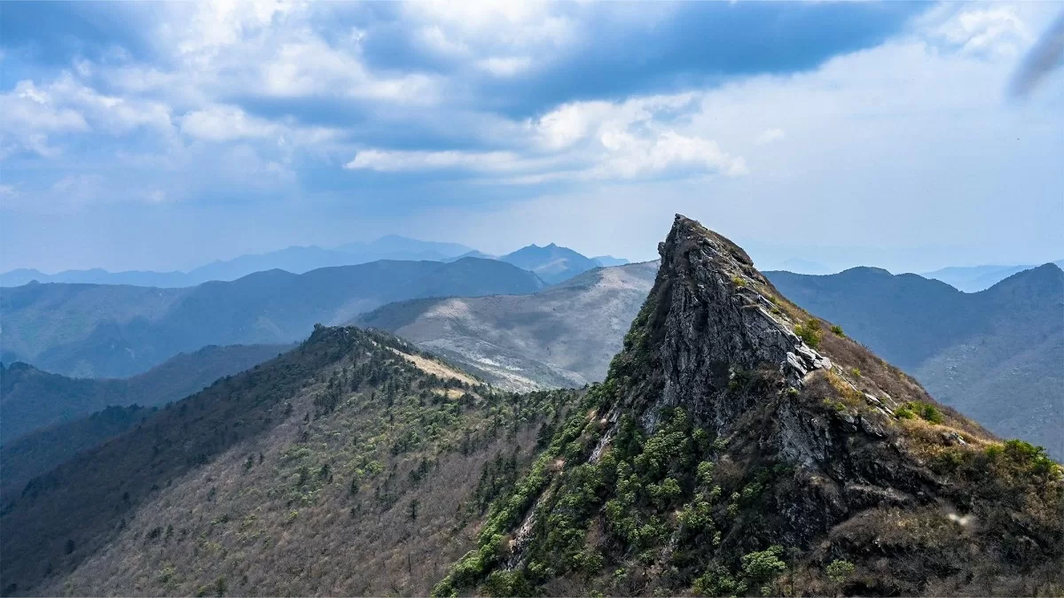
- Qinling Mountains: Located in the southern part of the line, the Qinling Mountains are a major east-west mountain range, spanning approximately 1,200 kilometers (750 miles) across central China. It acts as a natural boundary, separating the northern and southern regions.
- Huai River: The Huai River flows from west to east, crossing the line in central China. It plays a crucial role in regional water systems and serves as a natural border between North and South China.
Climate and Vegetation:
- North China: North of the Qinling-Huaihe line, the climate is generally temperate continental with distinct seasonal variations. Summers are hot and dry, while winters are cold and harsh. The region receives less precipitation overall, leading to a semi-arid to arid climate in some areas. Vegetation mainly consists of grasslands, shrubs, and drought-tolerant plants.
- South China: South of the line, the climate is characterized by a humid subtropical climate with ample rainfall. Summers are hot and humid, and winters are mild. The region boasts abundant vegetation, including lush forests, subtropical plants, and diverse flora and fauna.
Ecological Significance:
- Biodiversity: The Qinling-Huaihe line acts as a biogeographic boundary, separating distinct ecosystems and species distribution patterns. The line represents a transition zone where northern and southern species overlap, resulting in a high level of biodiversity.
- Endangered Species: The region south of the line, particularly the Qinling Mountains, is home to several endangered species, including the giant panda, golden snub-nosed monkey, and crested ibis. The line serves as an important ecological barrier, protecting these species’ habitats and promoting conservation efforts.
- Ecosystem Services: The diverse ecosystems in both North and South China contribute to vital ecosystem services such as water regulation, carbon sequestration, and soil conservation. The line’s demarcation helps in understanding and managing these ecosystem services effectively.
Socioeconomic Impact:
- Agriculture: The Qinling-Huaihe line has historically influenced agricultural practices in China. The northern region specializes in dryland farming, cultivating crops like wheat, corn, and millet, adapted to the arid climate. The southern region benefits from the abundant rainfall, supporting the cultivation of rice, tea, citrus fruits, and other subtropical crops.
- Economic Disparities: The line also reflects socioeconomic disparities between North and South China. The southern region, with its more favorable climate and fertile land, has generally experienced more rapid economic development and urbanization compared to the north.
- Water Management: The Huai River, crossing the line, is a significant water resource for both regions. Effective water management and flood control measures are crucial in ensuring sustainable development and addressing water-related challenges faced by communities along the river.
In summary, the Qinling-Huaihe line serves as a prominent geographic and ecological demarcation line in China, dividing the country into two distinct regions with differing climates, vegetation, biodiversity, and socioeconomic characteristics. Understanding and managing this line’s significance are essential for sustainable development, conservation efforts, and addressing regional challenges.